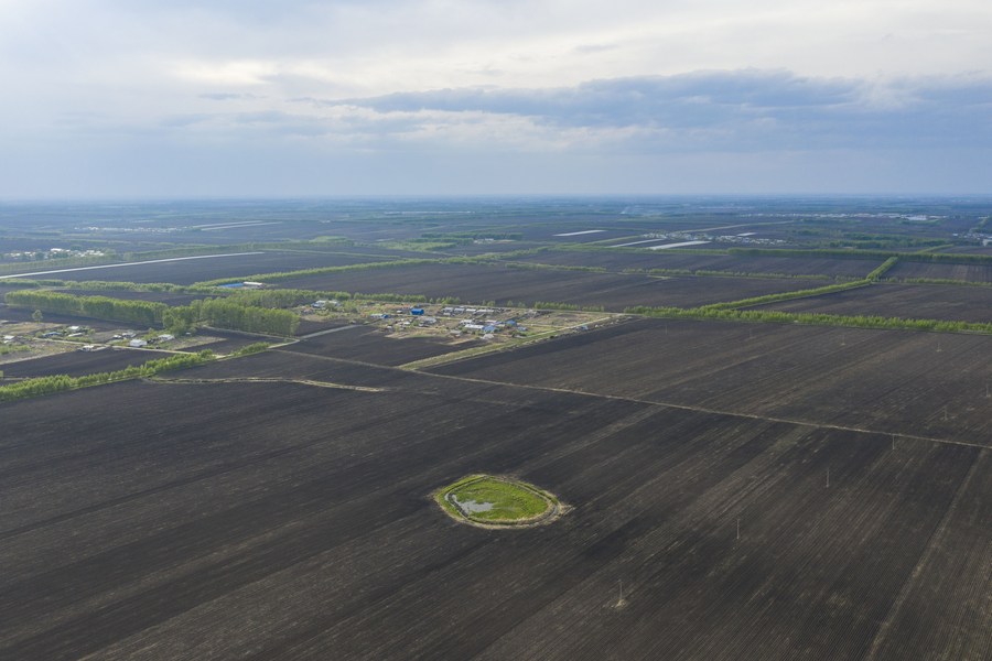
Aerial photo taken on May 23, 2022 shows a black soil area that has been sown in Guangrong Village of Hailun City, northeast China's Heilongjiang Province. (Xinhua/Xie Jianfei)
HARBIN, Aug. 3 (Xinhua) -- A Modern Ark 60 remote-sensing aircraft has just completed an aerial "scanning" mission, conducting a health check of the black soil in China's major agricultural province of Heilongjiang.
With lidar and hyperspectral imaging technology on board, the aerial mission gathered data over an area of 900 square kilometers that is mainly used for the production of three major crops: soybeans, corn and rice.
The data will be analyzed in combination with data captured in a post-harvest observation in October last year and another observation made in April this year, said Liu Huanjun, a researcher from the Northeast Institute of Geography and Agroecology under the Chinese Academy of Sciences.
The observations have been undertaken under the "Black Soil Granary" program launched in July 2021, which aims to boost black soil conservation and modern agricultural development.
The black soil -- or chernozem soil -- found in China's northeastern provinces of Heilongjiang, Jilin and Liaoning, as well as some parts of the Inner Mongolia Autonomous Region, produces about a quarter of the country's total grain output, making it crucial to China's food supply.
The academy has been conducting the research program, together with concerned departments in the four provincial-level regions, to battle against the degradation of this precious soil and various problems that threaten the nation's food security and ecological security.
The satellite-transmitted remote-sensing data helped mark the locations of degraded spots, while ground workers busily recorded the growth of plants, collected soil samples and analyzed indicators such as water and nutrients.
According to the institute, 15 satellites have contributed to the remote-sensing observations, which have also employed five aviation flights and more than 150 flights of unmanned aerial vehicles in the past few years, helping to establish a black soil data system covering the whole agricultural production process.
"The basic data collection can monitor the quality of the cultivated land, and find out which plots are sick, what diseases they may have, how the conditions are, and then what therapeutic solutions we should give through multidisciplinary consultation," Liu explained.
Monday was the first anniversary of the enforcement of a law on black soil conservation in China. The law specifies the responsibilities of the government and "agricultural production operators" in protecting black soil.
It also stipulates harsher punishments for those who cause pollution or soil erosion in black soil areas, in accordance with relevant laws and regulations, and calls on state farms to make greater contributions to black soil protection efforts and set a good example.
