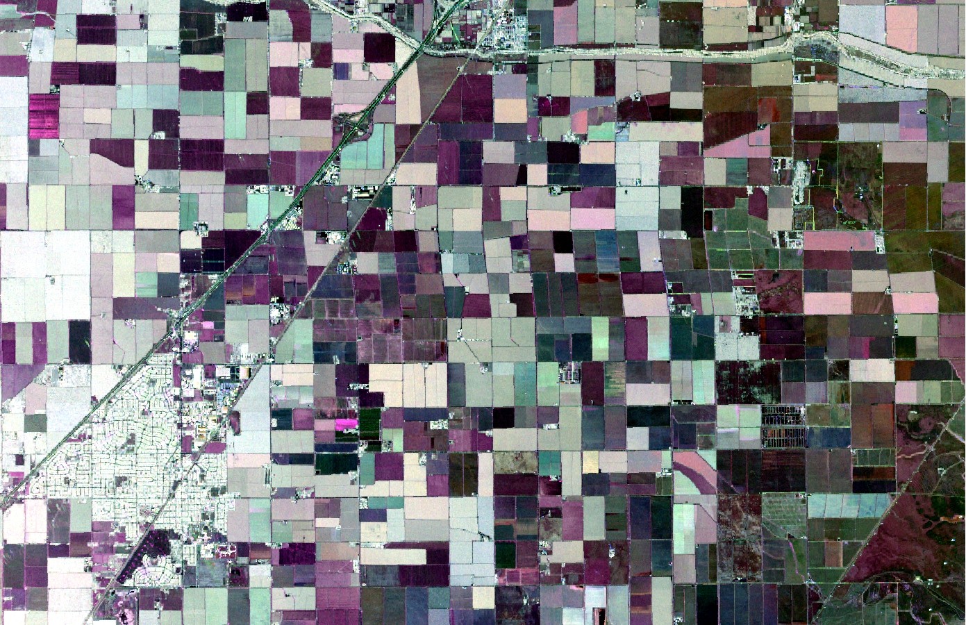
Accurate information of the distribution of crop types is vital to agricultural management, ecosystem services valuation and food security assessment. Synthetic Aperture Radar (SAR) systems have become increasingly popular in the field of crop monitoring and classification. However, the potential of time-series polarimetric SAR data has not been fully explored.
Recently, scientists from Northeast Institute of Geography and Agroecology, Chinese Academy of Sciences explored the usefulness of full year (both 2011 and 2014) L-band fully-polarimetric Uninhabited Aerial Vehicle Synthetic Aperture Radar (UAVSAR) data in crop classification by the Random Forest (RF) algorithm.
The researchers generated a series of prediction variables from the original UAVSAR, including raw linear polarization channels and polarimetric parameters derived from polarimetric decompositions. The classification potential of different variables was subsequently explored by using the RF algorithm.
The results revealed that the polarimetric parameters yielded much higher classification accuracies than linear polarizations, indicating that the polarimetric parameters exert a far greater influence than linear polarizations. Besides, images dated during the peak biomass stage were found to be the most important acquisitions for crop classification using the UAVSAR. Further, the research illustrated that the combination of merely four images was sufficient to achieve an early-optimal classification accuracy.
In summary, this research highlights the unique value of multitemporal fully polarimetric SAR data in crop discrimination over agricultural regions with diverse crop types. The accuracies of up-to-date crops inventories could be easily attained better than before with the help of multitemporal polarimetric SAR data.
This study entitled “Crop classification from full-year fully-polarimetric L-band UAVSAR timeseries using the Random Forest algorithm” has been published in International Journal of Applied Earth Observation and Geoinformation.
Contact:
LI Huapeng Ph.D. Associate Professor
Northeast Institute of Geography and Agroecology, CAS
Tel: 0431-85542230
E-mail: lihuapeng@iga.ac.cn